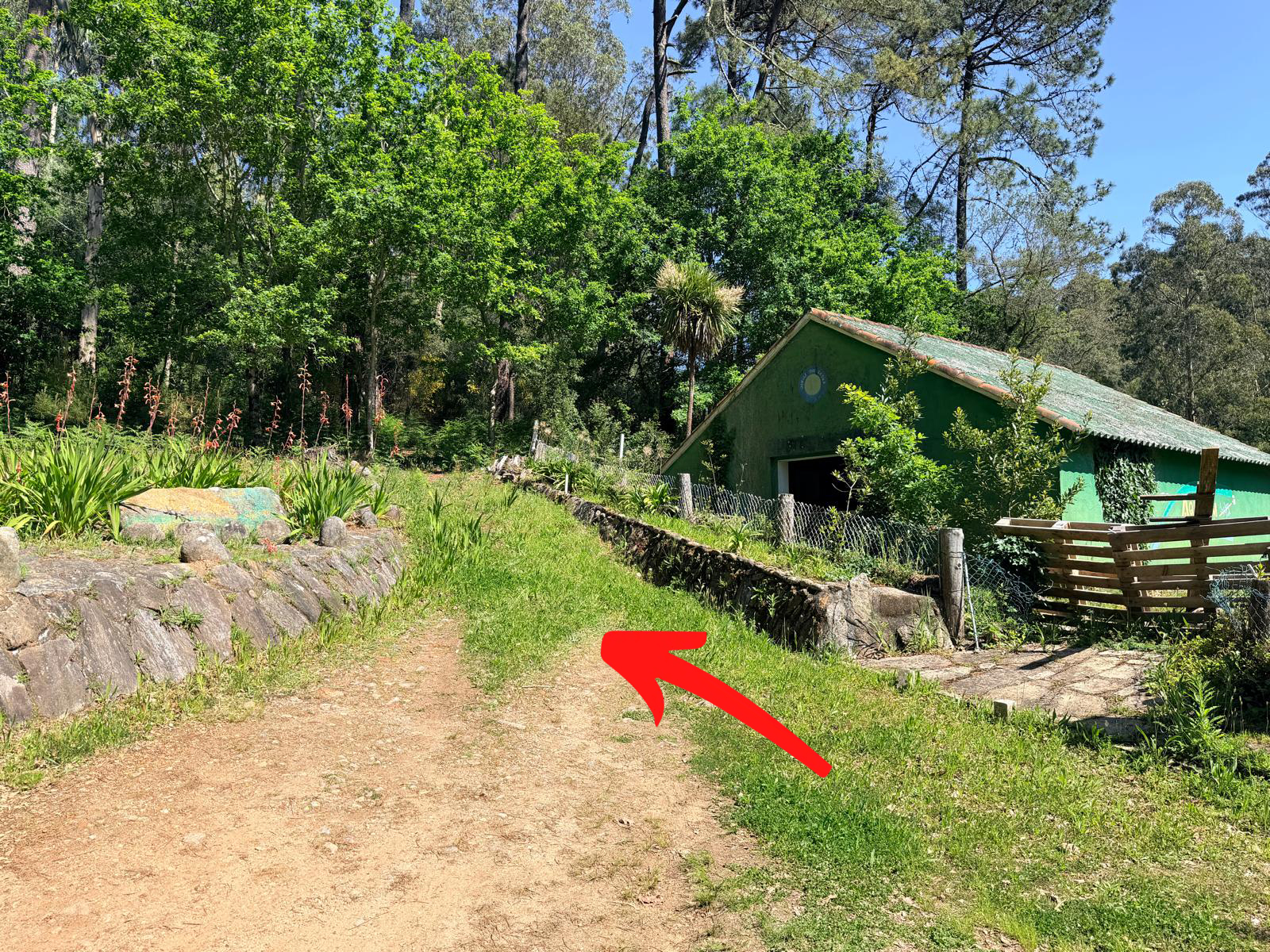

The Croa de Posmarcos hillfort lies in the hills of the San Isidro de Posmarcos parish, in the municipality of A Pobra do Caramiñal. Access is by local road from the centre of A Pobra, following the available signage. The final stretch is walked from the recommended car park, along a forest track.
Croa de Posmarcos
The hillfort. End of the route.
Abrir en Google Maps
Recommended parking
Recommended point to leave your vehicle. From here, access to the hillfort is on foot.
Abrir en Google Maps
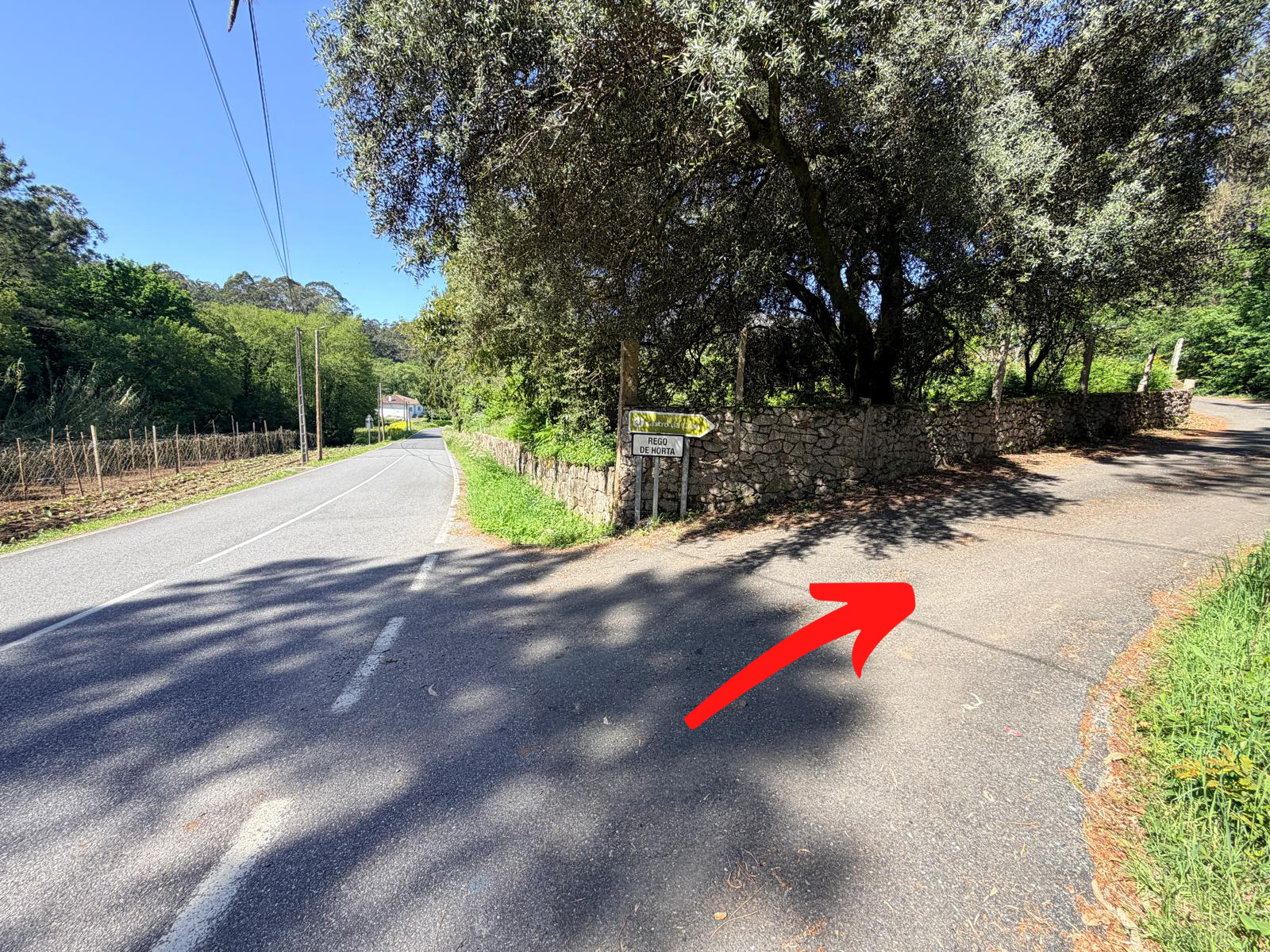
Signposted turn-off
Location of the signage indicating access to the hillfort.
Abrir en Google Maps
Secondary access
Alternative access to the hillfort.
Abrir en Google Maps
Coordenadas
42.6328°N, 8.9275°W
Concello
A Pobra do Caramiñal
Parroquia
San Isidro de Posmarcos
Acceso
Libre
Main access to the hillfort
The hillfort has two access routes. On neither of them does the car reach the archaeological enclosure, which is accessed along beautiful traditional paths. We show the route currently signposted along its various stretches.
1
Take the signposted path
From the Barbanza motorway or from the AC-305 main road, head towards the church of San Isidoro de Posmarcos. Just before the hamlet of Rego de Horta, a signposted turn-off appears on the left.
2
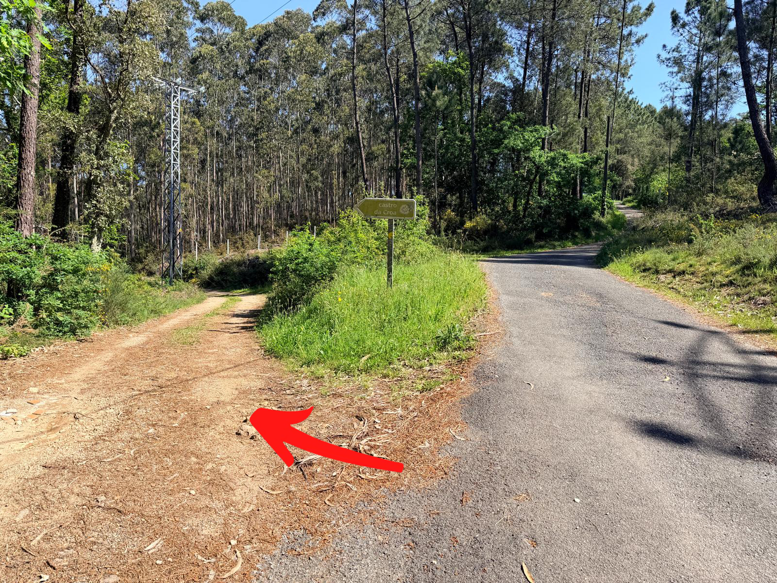
Entering the forest track
About a hundred metres further on, another turn-off takes us along an unpaved track to the left. This is a forest track with some uneven stretches. If you prefer to walk, it is a simple one-kilometre route up to the hillfort.
3
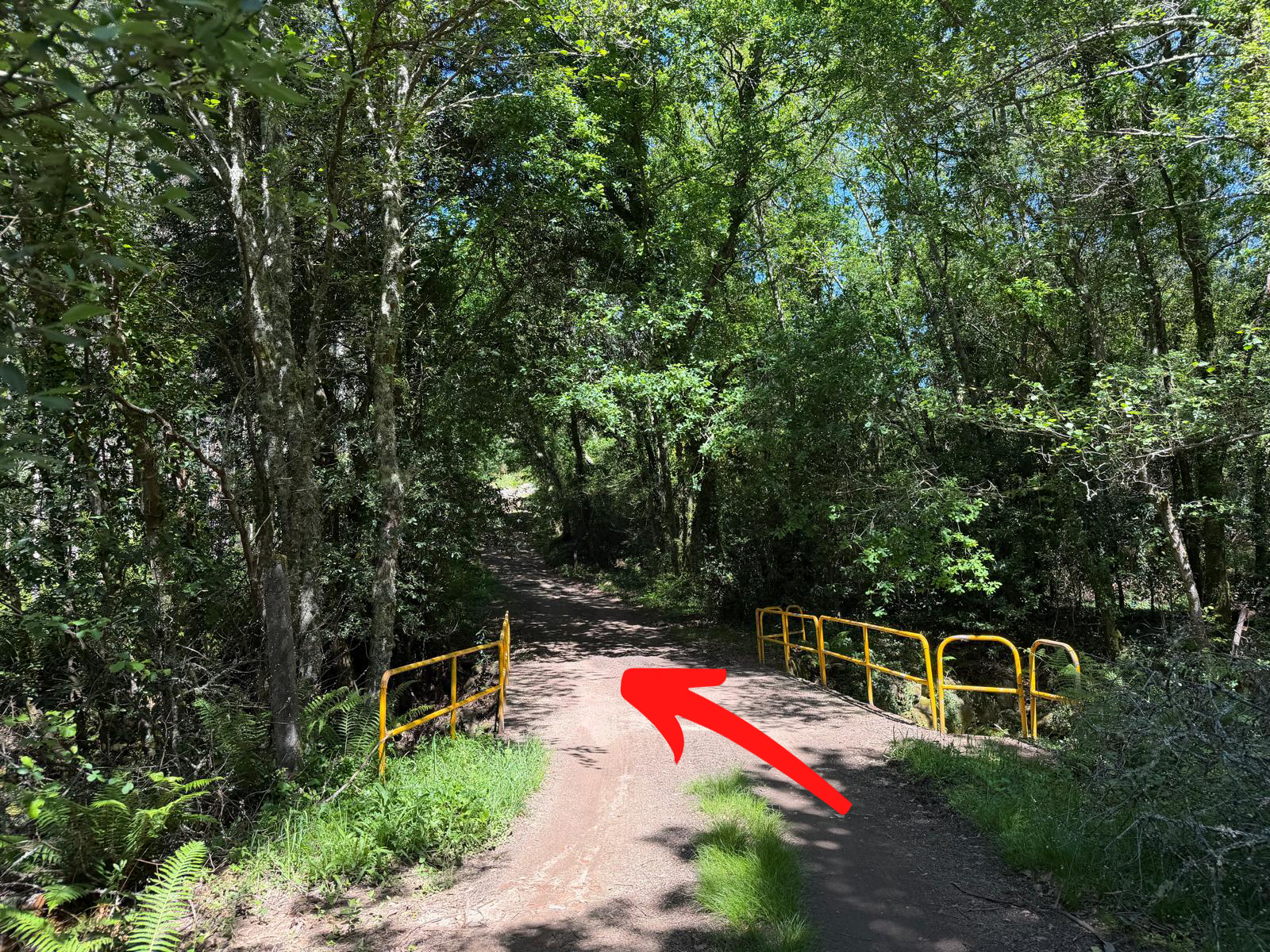
Crossing the bridge
After some seven hundred metres along the forest track, without taking any turn-off, we reach the bridge over the river Lérez. We cross the bridge.
4
Climbing to the hillfort
We will come to a junction of several forest tracks with a building (a fish farm) on the right. Here we must take the track on the right. We climb along it and take the first turn on the left. We will now be at the foot of the hillfort. We can view it from the outside or go straight up to the croa.